Area guide
Wingerworth
- Typical price
- Sales a year
- Change since 2016
- Top sale
Median, 2024 and 2025
Average, 2024 and 2025
Median 2016 to 2025
2024 and 2025
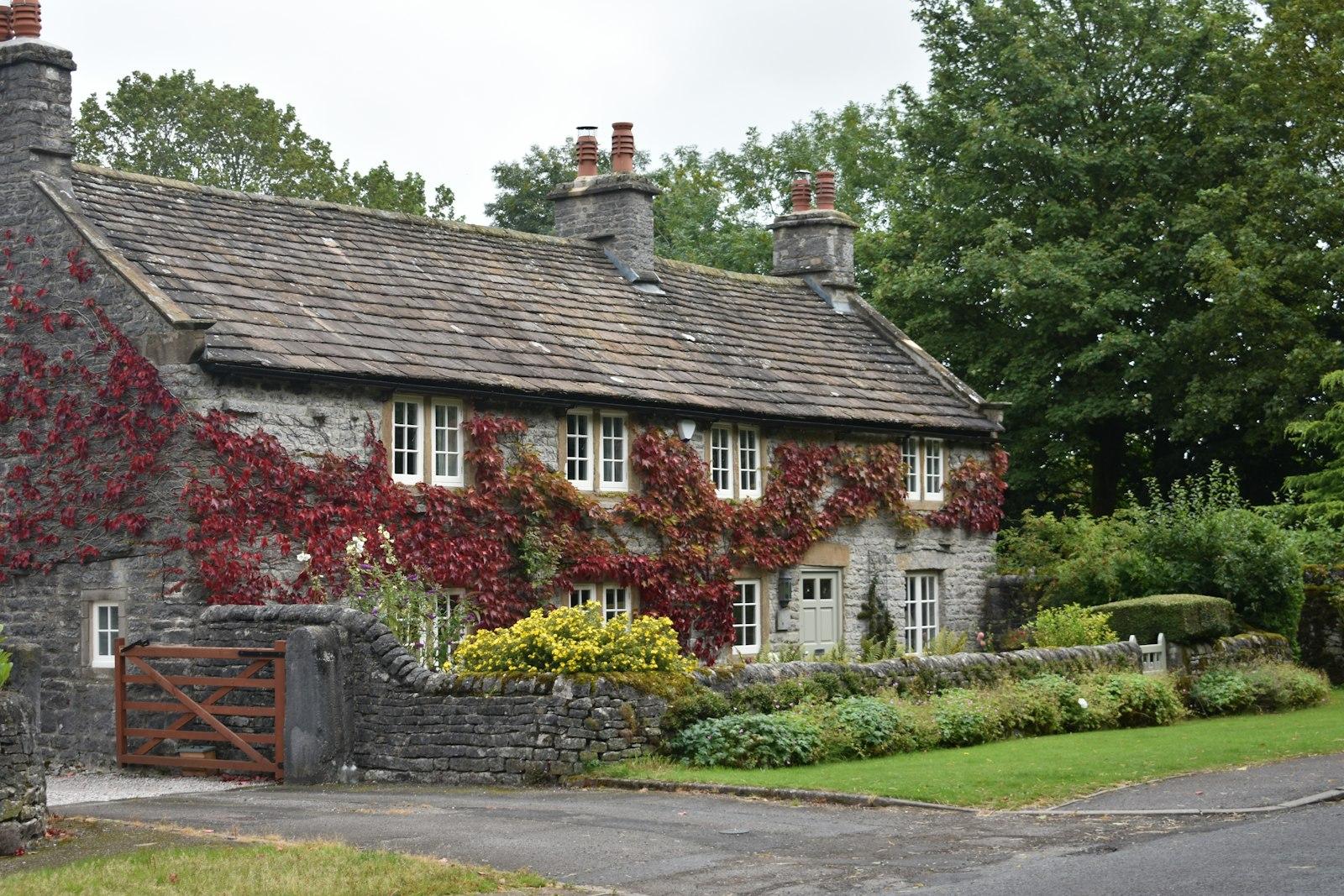
Wingerworth sits just south of Chesterfield, off the A61, close enough to town to feel part of it but with a village centre and woods of its own. It's one of the most popular places for families moving up from a first home.
The place
The older village grew around the church and the lanes, with large 1960s and 70s estates added later. More recently, new estates have been built on the site of the old Avenue coking works to the south-east.
Hunloke Park and Deer Park primary schools serve the village, and there are woods and footpaths right on the edge.
The homes
Detached homes are the biggest share of sales, then semis. Terraces and flats are rare. Sales jumped from about 150 a year to over 270 in 2021 as the new estates were finished, and have settled back since.
Emes Road and Milford Drive see the most sales. Longedge Lane is where the bigger, older houses sell, at well above the village's typical price.
Worth knowing
Wingerworth is in North East Derbyshire, so council tax and planning go through North East Derbyshire District Council rather than Chesterfield. Tupton Hall School is one of the nearby secondaries.
Getting about
- Chesterfield station
- about 10 minutes by car
- Sheffield city centre
- about 30 minutes by car
- M1 junction 29
- about 15 minutes by car
- Derby city centre
- about 35 minutes by car
- Matlock
- about 15 minutes by car
- Sheffield by train
- from Chesterfield station, about 15 minutes
- Derby by train
- from Chesterfield station, about 20 minutes
Drive times are from the middle of Wingerworth with no traffic, worked out from OpenStreetMap (© OpenStreetMap contributors). Allow longer at rush hour.
Living here
Schools, the river, and the year in Wingerworth.
Primary schools within 3 km
- Deer Park Primary School
State, ages 5 to 11 · 0.5 km
- Hunloke Park Primary School
Academy, ages 3 to 11 · 0.9 km
- Spire Nursery and Infant School
State, ages 2 to 7 · 2 km
- Walton Peak Flying High Academy
Academy, ages 3 to 11 · 2.3 km
- Spire Junior School
State, ages 7 to 11 · 2.4 km
- Tupton Primary and Nursery Academy
Academy, ages 3 to 11 · 2.5 km
Secondary schools within 8 km
- Outwood Academy Hasland Hall
Academy, ages 11 to 16 · 2.8 km
- Parkside Community School
Academy, ages 11 to 16 · 2.9 km
- Tupton Hall School
Academy, ages 11 to 18 · 3.2 km
- Brookfield Community School
Academy, ages 11 to 18 · 3.7 km
Flood warnings
The Environment Agency issues flood warnings for these areas within 2 km:
- River Rother at Birdholme
Not a rating for any one home. Check a postcode's long-term flood risk.
Through the year
- Chesterfield market
- Mondays, Fridays and Saturdays, ten minutes away
Dates move a little each year. Check before you go.
Before you buy, check
Schools from the Department for Education's register, measured in a straight line from the middle of Wingerworth; distance isn't catchment, so check admissions with Derbyshire County Council. Flood warning areas from the Environment Agency. Contains public sector information licensed under the Open Government Licence v3.0. Updated October 2026.
Quick answers
Wingerworth in a sentence or two.
- How much does a house cost in Wingerworth?
- The typical price in Wingerworth was £279,995 in 2024 and 2025, from about 144 sales a year. Typical prices by type: detached homes £325,000, semis £239,950 and terraces £202,475. These are completed sales from HM Land Registry, not asking prices.
- Have house prices gone up in Wingerworth?
- The typical price rose 37% between 2016 and 2025, from £199,995 to £274,975.
- Which street in Wingerworth has the most sales?
- Emes Road, with 56 sales between 2021 and 2025 at a typical price of £287,000.
- How far is Wingerworth from Sheffield?
- By car with no traffic, it's about 30 minutes to Sheffield city centre and about 10 minutes to Chesterfield station. Allow longer at rush hour.
- What schools are near Wingerworth?
- The nearest primary schools are Deer Park Primary School, Hunloke Park Primary School and Spire Nursery and Infant School. The nearest secondary schools are Outwood Academy Hasland Hall and Parkside Community School. Distance isn't catchment, so check admissions with Derbyshire County Council.
- Does Wingerworth flood?
- The Environment Agency has flood warning areas nearby, including River Rother at Birdholme. That doesn't mean every home is at risk, so check the long-term flood risk for the postcode.
- Is Wingerworth in the Peak District National Park?
- No. Wingerworth is outside the National Park, so planning goes through North East Derbyshire District Council.
The numbers
What homes in Wingerworth actually sell for.
Real completed sales from HM Land Registry, not asking prices. Updated to August 2026.
By type, 2024 and 2025
| Detached | 166 sold | £325,000 |
| Semi-detached | 97 sold | £239,950 |
| Terraced | 20 sold | £202,475 |
| Flat | 4 sold | £133,975 |
Price bands, 2024 and 2025
- Under £200k35
- £200k to £300k137
- £300k to £500k96
- £500k to £750k17
- £750k and over2
Busiest streets, 2021 to 2025
Streets with at least four sales, so no single home's price can be picked out.
Sales Land Registry records under the locality Wingerworth. Standard market sales only. Contains HM Land Registry data © Crown copyright and database right 2026, licensed under the Open Government Licence v3.0.
Not sure it's the one?
Compare it with the rest of the area.
Tell us what you're looking for and we'll say whether Wingerworth fits, or where else might suit you better.
An AI tool that answers only from our own area data. Prices are guides from past sales (HM Land Registry), not valuations. We don't discuss individual homes for sale.
More area guides